



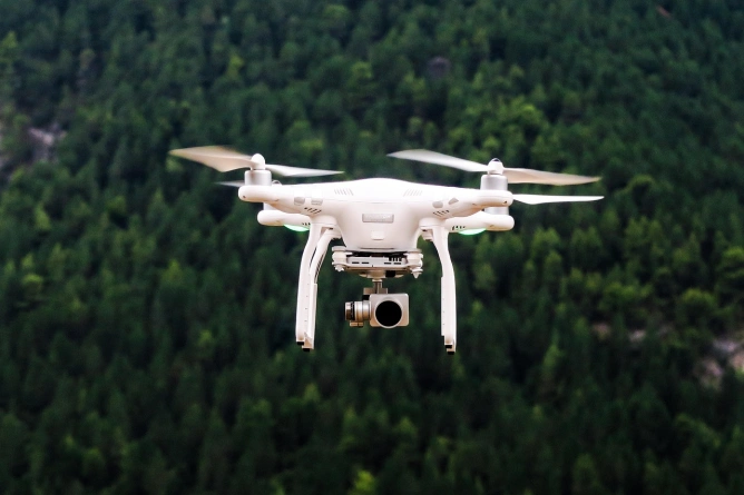
A team of researchers has used drones with advanced sensors to study land structure and gas emissions in the area of the Muddy Volcanoes.
Ana-Maria Tapescu


Current Affairs
Foto: pixabay.com

Always see our news on Google
The National Research-Development Institute for Earth Physics has carried out tests with drones equipped with LiDAR technology and other sensors in the area of the Muddy Volcanoes. The aim is to decipher the structure of the unstable terrain, monitor gas emissions and identify areas vulnerable to landslides. The GeoEduLab research team is familiarizing themselves with aerial methods, and the data collected will contribute to our understanding of geological hazards. This campaign adds to the knowledge about the Mud Volcanoes and can be applied to other regions with similar risks.
Sources

Vulcanii Noroioşi din Buzău, scanaţi cu drone pentru descifrarea structurii ascunse a terenului şi monitorizarea emisiilor de gaze

Vulcanii Noroioși, transformați în laborator științific. Cercetătorii INFP testează drone cu senzori de ultimă generație

Vulcanii Nororioși din Buzău, scanați cu drone

Vulcanii Noroioși s-au transformat într-un laborator geofizic în aer liber. Echipa de cercetare a analizat structura ascunsă a terenului şi a monitorizat emisiile de gaze
Latest News
19:52
Ciprian Ciucu warns that Bucharest residents could face problems with hot water and heating this winter
19:46
S&D calls for a ban on dynamic and personalized ticket prices, subscription traps, and “pay-to-win” mechanisms in games
19:15
A Romanian caregiver was definitively sentenced in Austria after assaulting an ill elderly woman
19:09
ECFR analysts recommend that Romania coordinate with other EU states in reviewing a potential sale of Petrotel
19:05
International operation coordinated by Romania identifies 51 potential human trafficking victims online
See more news
NEWS ON THE SAME TOPICS

Current Affairs
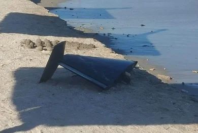
A drone was found crashed in a field in Vaslui County / Authorities are conducting checks
.webp)
Current Affairs
IGSU issued a RO-Alert message in Botoșani after a possible drone incursion was reported
Current Affairs
A drone crashed in Tulcea County, causing an explosion and a fire. ISU Delta intervened, and the population was warned through RO-ALERT.

International
Study: Europe is not prepared for Russia's drone attacks
.webp)

Personalized news feed, AI-powered search, and notifications in a more interactive experience.