



Researchers explain the flood in Nepal through climate warming, glacier retreat, and the instability of Mount Langtang Lirung



Always see our news on Google
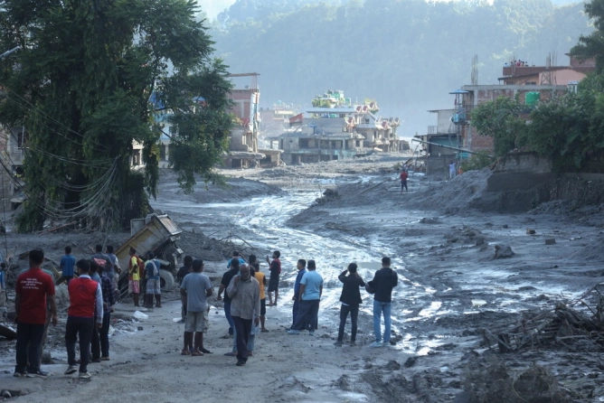
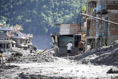
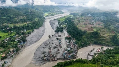
A study conducted by World Weather Attribution shows that the devastating flood that occurred in Nepal on August 26 was intensified by the accelerated warming of the Himalayan mountain region, glacier melt, and geological instability. The collapse of a mass of ice and rock from Langtang Lirung mountain generated a flood of water, ice, and debris that swept through the valleys along the Bhote Koshi River.
Researchers say that the disaster was not caused by a single extreme weather event, but by a combination of factors worsened by climate change. The retreat of glaciers and permafrost compromised the stability of the slope, which was probably also weakened by the magnitude 7.8 earthquake that struck Nepal in 2015.
July and August 2026 were the warmest months ever recorded in the region, while heavy snowfall at the end of 2025 contributed to the increase in meltwater. The flood caused more than 1,400 deaths in Nepal and left 6,150 people missing. In China, the toll stands at 43 dead and 519 missing, according to the state media. The Nepalese government estimates reconstruction costs at 4.78 billion dollars.
Researchers recommend creating regional maps of high-risk areas, especially near infrastructure, settlements, and hydropower corridors.
Sources


Latest News
11:12
11:07
11:02
10:57
10:55
See more news
NEWS ON THE SAME TOPICS








.webp)