



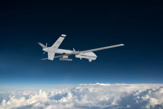
A model of artificial intelligence trained on data from Pokémon Go could help military drones navigate in war zones.



Always see our news on Google
Niantic, the company behind the game Pokémon Go, has used location scans from this game to train an artificial intelligence model capable of recognizing and interpreting physical spaces. This technology could be used to improve the navigation of military drones in areas where GPS is not available.
The partnership between Niantic Spatial and Vantor, a company specialized in spatial detection software, aims to address issues related to the lack of GPS signal, which affects modern military operations. Although the scans from Pokémon Go were not provided directly to Vantor, they were used to train Niantic's foundational models.
The use of civilian data for military purposes raises privacy concerns, and experts emphasize the need for regulations to protect users. This situation reflects a broader trend of using data from applications for unforeseen purposes, which can have serious implications for the users of these services.
Sources


Latest News
23:13
23:02
22:58
22:25
22:21
See more news
NEWS ON THE SAME TOPICS


.webp)










.webp)