EU and Canada sign two space agreements, while access to Galileo services will be negotiated separately



Always see our news on Google
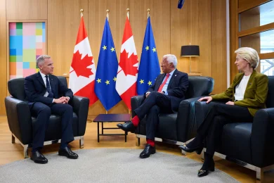
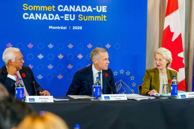
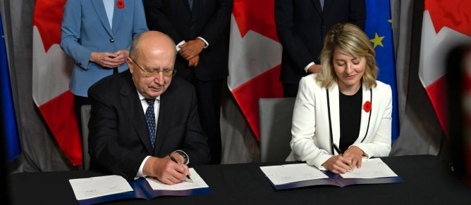
The European Union and Canada signed two agreements in Montréal on October 30 for space cooperation: one on secure satellite communications and another on the Galileo High Accuracy Service (HAS) and geodesy. The documents establish technical cooperation, while leaders separately announced negotiations on Canadian access to Galileo services and exploratory talks on a framework for cooperation on IRIS².
In brief Two agreements signed on October 30 separately cover secure satellite connectivity and Galileo HAS and geodesy. Kubilius and Joly signed the documents, with the Canadian Space Agency and Natural Resources Canada serving as institutional partners. Galileo HAS already provides free corrections for precise positioning worldwide; the cooperation also seeks to support uses in the Arctic. Canadian access to Galileo services will be negotiated separately, while exploratory talks have been announced for IRIS². The agreements do not automatically grant access to restricted government services and do not make IRIS² an already operational infrastructure.
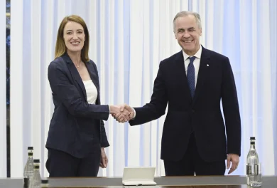
European Commissioner for Defence and Space Andrius Kubilius and Canadian Industry Minister Mélanie Joly signed the documents during the summit ceremony. The Canadian partners are the Canadian Space Agency for secure connectivity and Natural Resources Canada for Galileo HAS and geodesy. The two instruments have different purposes, even though they use space infrastructure.
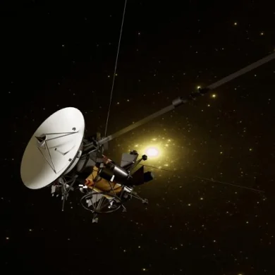
Galileo provides positioning, navigation and time synchronisation. Geodesy focuses on the precise measurement and representation of the Earth, information used to create maps and reference infrastructures for positioning. The Canadian government seeks to improve these capabilities across the country, including in the Arctic region.
The cooperation does not make Galileo HAS available to Canadian users for the first time. The service is already free and available worldwide. According to the EU Agency for the Space Programme, it transmits correction data both through satellite signals and over the internet, enabling decimetre-level positioning with compatible equipment and processing. Applications include surveying, precision agriculture and civil engineering.
The bilateral framework aims to deepen technical cooperation and use these capabilities, including under the geographic conditions of the Arctic. Actual accuracy depends on reception conditions and the equipment used; signing the document does not guarantee the same performance for every device or in every location.
Secure satellite communications address a different need: transmitting information with resilience and security. In this area, the arrangement with the Canadian Space Agency provides a framework for dialogue and information exchange. The Canadian government factsheet states that it covers developments in the European IRIS² programme, designed for government users, defence, emergency response, critical infrastructure and commercial services.
The summit’s joint declaration explicitly separates the next steps. For Galileo, the parties will launch negotiations on a framework for Canadian access to services. For IRIS², exploratory talks on cooperation are planned. These formulations describe negotiation processes and do not themselves grant operational access to restricted government services.
IRIS² concerns communications and is under development, while Galileo already provides navigation services. The distinction matters to authorities and companies interested in cooperation, as access rights, security requirements and any financial obligations must be established for the relevant service and legal instrument.
The agreements form part of the technological rapprochement announced at the summit, alongside cooperation in supercomputing and research. In the space sector, the concrete outcome is the signed cooperation framework and the negotiation agenda, which will have to establish the conditions for broader participation.
,
Latest News
18:58
18:51
18:44
18:31
18:16
See more news
NEWS ON THE SAME TOPICS