20 August 10:10

News
Foto: pixabay.com
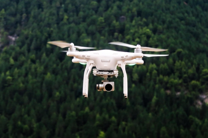
The National Research-Development Institute for Earth Physics has carried out tests with drones equipped with LiDAR technology and other sensors in the area of the Muddy Volcanoes. The aim is to decipher the structure of the unstable terrain, monitor gas emissions and identify areas vulnerable to landslides. The GeoEduLab research team is familiarizing themselves with aerial methods, and the data collected will contribute to our understanding of geological hazards. This campaign adds to the knowledge about the Mud Volcanoes and can be applied to other regions with similar risks.
Sources

Vulcanii Noroioşi din Buzău, scanaţi cu drone pentru descifrarea structurii ascunse a terenului şi monitorizarea emisiilor de gaze

Vulcanii Noroioși, transformați în laborator științific. Cercetătorii INFP testează drone cu senzori de ultimă generație

Vulcanii Nororioși din Buzău, scanați cu drone

Vulcanii Noroioși s-au transformat într-un laborator geofizic în aer liber. Echipa de cercetare a analizat structura ascunsă a terenului şi a monitorizat emisiile de gaze


